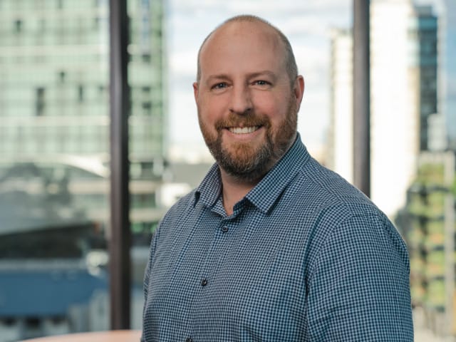
Richard Heath is an Associate Graphic Designer with Tetra Tech Coffey’s GIS team. With over 20 years’ experience working in technical Illustration and Visualisation (2D & 3D), and graphics for scientific and engineering consultancy. He is a graduate of Griffith University, with a Bachelor of Design.
Tell us a bit about your career to date?
I started my career in the energy sector, developing 3D models for large infrastructure projects such as coal and renewable power stations. It was here I also started learning about the importance of stakeholder engagement tools, and I honed my skills in technical illustration and cartography for the energy industry.
I learnt how graphics are needed not just in a pure, aesthetic, graphic design sense, but in a technical communication sense, especially in technical illustration, mapping, and information display.
Across the years, I have observed that tailoring presentations to various stakeholders is so important; and I have evolved professionally to incorporate all formats of graphic design presentation into my work, that include 3D modelling, video and animation, through to desktop publishing and digital delivery. And through that experience I got to know the Geospatial and side of things, and the world according to ESRI far more than expected, as I have been embedded in a geospatial team for most of those years.
With Tetra Tech Coffey and the geospatial team, I am a part of a team delivering a broad range of graphic design, animation, and visualisation solutions from our clients’ data. Even interface design for web delivery and bespoke projects.
When preparing visualisations for an offshore wind farm – it was exciting to see that not only is the technology that we’re using changing, but also over the past 2 decades seeing the types of projects I am working on change, and through that, the continual evolution of an industry such as energy – all so dependent on the role that GIS plays in project planning and development, and then how those plans are shown, and shared with the public.
My favourite quote from Bo Bennett PhD, the author of many books, most of which relate to critical thinking- Visualisation, is daydreaming with a purpose”. – Richard Heath
What factors are driving demand your work?
Visualisation in the public domain now is something that everybody expects to see with large projects, certainly infrastructure design. We are proud that we can offer our clients a broad range of outputs, including illustrations, videos, and 3d printed models to help communicate to the public what’s going on. Being able to show project designs to stakeholders through video and animation and is incredibly powerful. And now the technology coming along through ESRI and through other GIS platforms, we can more readily show some of that, particularly in 3D web maps where the stakeholders can investigate and go ‘within a project’ to get a good visual understanding of the project, whether existing or planned. It’s just an expectation of some of these larger projects and we want to be able to help our clients deliver that without having to go to third parties.
Are there any projects you have worked on where you have seen the positive impact GIS can have in addressing challenges?
Wafi Gold project in PNG was a project I was proud to be part of the project team. Our client required visual tools to help facilitate community consultation. Our solution provided not only physical models, but also a 17 min video in multiple languages, which allowed communities to see the proposed project during the public consultation process.
Often with projects there can be a lot of misinformation. Visualisation is one way to show in detail what is happening, and why that a particular option was chosen. Our client was able to show the project in a visual way that wasn’t technical and could be watched and digested by many different audiences.
Your field is always evolving, what other innovations excite you?
Something we have been talking about in our team more and more is Augmented Reality (AR), where you can superimposing the proposed designs in over a camera view through a device, and you can view designs in situ in real time. We’re exploring that as a new tool that we can offer our clients.
What have been a career highlight for you?
The Victorian Murray Floodplain Restoration Project is a recent one that really stands out for me.
There were a lot of sites and data sets and trying to find the solutions to deliver all that in visually rich way, through digital and print media, and efficiently when changes were being made. That made for some interesting problem solving, and I am proud of what we were able to achieve.
We came up with a really, elegant solution which enabled us to deliver and respond quickly when changes. And in the end, some of what we delivered digitally was able to be quickly transformed into a printed delivery, which was needed by legislation. The problem-solving side of things is where I get great job satisfaction to be honest, the final product is great, and of course I enjoy seeing that.
Connect with Richard Richard.Heath@tetratech.com