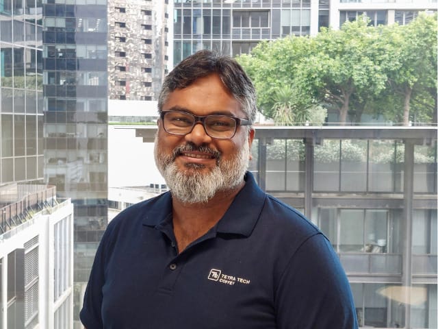
Based in our Sydney office, Tauhidul Islam is a Senior Geospatial Consultant at Tetra Tech Coffey. With over 13 years’ experience working in Geospatial design and development, Tauhid’s experience spans all market sectors, within government, commercial, utility and resources industries. He is a graduate of the Khulna University, Bangladesh with a Bachelor of Urban and Rural Planning.
Tell us a bit about your career to date?
I started my career in Urban Planning, and as a young GIS professional I worked in Government and the private sector, working on large projects in mining, utility infrastructure, and water planning. As a GIS specialist I capture data, run analysis and present information in maps and apps used in broader application across stakeholder communication, verbal communication with the stakeholders, different agencies, and master planning.
Very early on in my career I worked across six different East African countries, mostly in the feasibility analysis for rural electrification. My experience gathering data and interpreting information for social and environmental impact assessments as well and the master plan for these electrification distribution systems in different small cities or villages gives me a deep understanding of the importance of well curated data and how this information enables meaningful consultation with communities and stakeholders.
What challenges are you currently helping clients address?
Within the GIS team at Tetra Tech Coffey here in Sydney, I am working across some of our major infrastructure projects, most recently Western Sydney Airport and M6 projects.
These significant projects generate mountains of location-based data points. I layer the design and environmental information from multiple agencies and companies to provide a true picture along the entire project routes to enable our teams and our clients to target activity and communicate results that ensure project delivery.
It has been fantastic to collaborate with the broader Tetra Tech Coffey team on both of these projects and in particular our geotechnical and hydrology specialists!
In the realm of GIS, we transform data into insights, challenges into opportunities, and visions into reality. Our maps are not just illustrations; they are blueprints for progress. – Tauhidul Islam
What’s been what’s been your observation of how I guess GIS industry is evolving?
Adopting Artificial Intelligence and Machine Learning (AI & ML) for data gathering and analysis is where I see the biggest opportunity. Early on in my career a large part of my working days were spent digitising data from old map series and newly acquired satellite imagery, a lot of manual tasks required before you could even think about running analysis to answer location questions.
But nowadays, ingesting aerial imagery and satellite data, we can train and run models that mine the data, bypassing the time-consuming manual tasks. Ten years ago, running land use prediction model would take me several days, nowadays using this machine learning technologies, it’s a matter of hours. The time we get back can be fed into refining analysis, generating more reliable information and identifying nuance across landscapes for our specialists to focus their attention on.
GIS touches people’s lives daily, yet many are still unaware of its power and pervasiveness, how have you seen it make a difference to the world and help our clients make better decisions?
GIS is such a powerful discipline and makes such a difference to the world we live in and the lives of people everywhere. One project I am very proud to have been part of was rural electrification of South Sudan.
The project was part of the rebuilding effort to bring vital utility infrastructure to the country after 20 years civil war. I was the sole GIS representative in a taskforce developing a preliminary electrification distribution system for capital city, Juba. I worked with different agencies, capturing and establishing baseline data and to map and visualise the footprint of local communities, the extent of their electricity needs (capacity) and model these against different costing scenarios. My work involved lots of surveys (often in multiple languages) and lots of baseline data collection. After a year, we delivered a hydropower distribution system in Juba, and flagged other potential mini hydropower plants near Maridi and Yei.
In our modern cities, we take our infrastructure for granted. Electrification improves lives by allowing children to study after dark and families to cook without hazardous polluting fuels in their communities. Being able to support the South Sudanese community with my GIS expertise was a privilege. It is so humbling to know that within a really short time I could be part of mobilising a framework that can set a country up for success. Whilst it was challenging, I would say that has been a career highlight for me and showcases the positive impact of GIS.
Connect with Tauhid at Tauhidul.Islam@tetratech.com